Pakistan flood map project
Data visualization of the devastating floods that impacted Pakistan in 2022
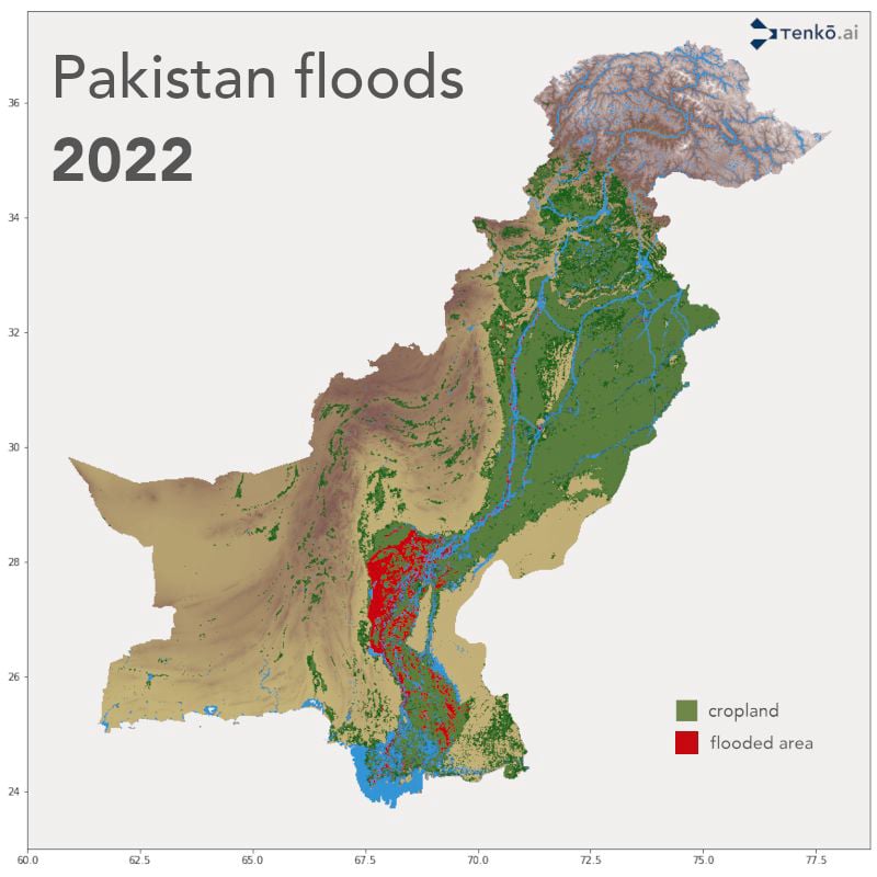
Description
Part of my job at Tenko as a data and modeling engineer was to develop a tool to
automatically download satellite data and calculate flood maps from this raw satellite
data.
The tool was able to download data and generate aggregated flood maps for a country such
as
Pakistan over a period of one year in a matter of minutes. This map was produced using
python, geemap,
and Rasterio.
In the article you can see the
important difference
between the floods in 2021 and 2022.
The code source is property of Tenko.